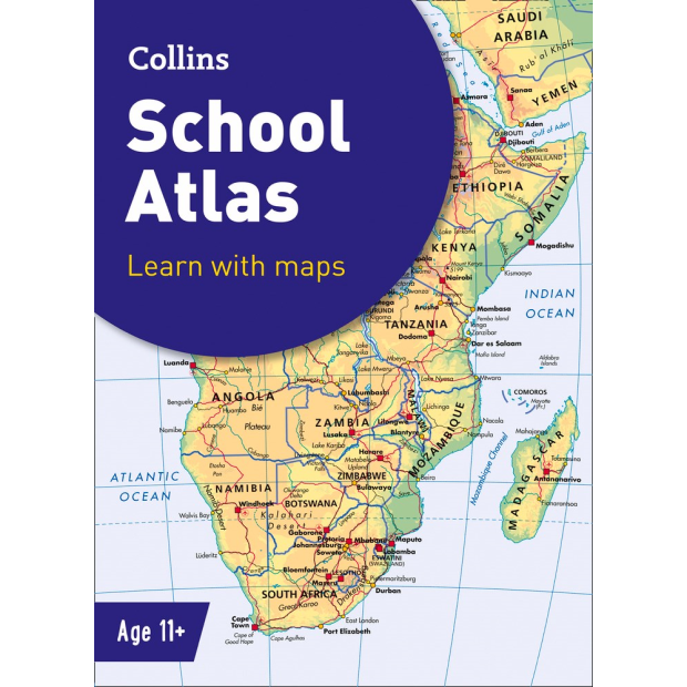
Collins School Atlas is an introductory atlas for secondary schools, designed to support Key Stage 3 students in developing their geographical and mapping skills. The content follows requirements of the National Curriculum and incorporates results of classroom testing.
The ‘Introducing Atlas Maps’ section – useful for both teacher and pupil – is followed by clear, easy-to-read reference maps. An extended ‘World’ section covers all the global issues required by the National Curriculum, such as population, climate change and environmental issues.
Encourages development of map, atlas and data handling skills
Ideal for classroom use or home learning
Fully up-to-date
Suitable for ages 11-14 (KS3 and S1-S2)
Reference maps include:
• Locator maps
• Fact boxes
• Flags
• Descriptive text
• Detailed map keys
• Photos
• Focus country studies